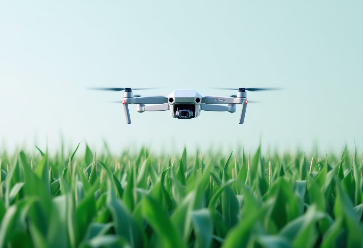
Transform your fields with precision mapping
Experience seamless farm mapping with AI precision. Optimize analytics and compliance effortlessly—no manual surveys needed.

![[team]](https://cdn.prod.website-files.com/687f47e051025581266fd757/68eccb47431234be644523b1_59f74f0e-99e6-4f2e-9df6-7183f75a3752.avif)


Experience seamless farm mapping with AI precision. Optimize analytics and compliance effortlessly—no manual surveys needed.
Leverage AI to map farm boundaries with pinpoint accuracy, eliminating the need for on-site surveys. Access comprehensive, high-resolution data to enhance decision-making and ensure compliance across all scales.
![[background image] image of topdown photo of desk with laptop (for a food and agtech)](https://cdn.prod.website-files.com/687f47e051025581266fd757/68eccb466f791a85d9de19ca_147734e4-dd62-47c1-b263-2769a306ba13.avif)


Endorsed by industry leaders
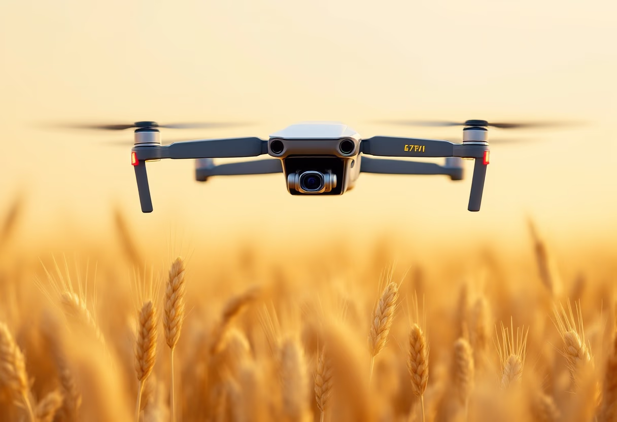
Discover how automated mapping transforms agriculture.

Our workflow efficiency has skyrocketed with precise mapping.

Enhanced data accuracy boosts our financial evaluations.

Efficiently mapped vast areas with consistent data quality.
Integration is seamless, aiding our sustainability goals.

Streamlined processes enhance traceability and reporting.
![[background image] image of construction team meeting for a construction company](https://cdn.prod.website-files.com/687f47e051025581266fd757/68eccb469d82abc5800bd12b_591255dc-885d-4537-8dac-14c1fb00ce66.avif)
Confidence scores simplify our validation processes.
Explore our accuracy, data outputs, and integration options for automated mapping.
Boundaries are generated with up to 1m spatial resolution, validated in varied regions. Accuracy depends on image quality and local factors, but our models are built for consistent, reliable results.
Each output includes seeded and non-seeded area, confidence score, GPS centroid, and geometry complexity. Data is formatted for analytics and integration.
Yes. Boundaries support subsidy programs, insurance analysis, carbon credits, and supply chain needs. Data integrates with most industry systems.
Minimal manual input is required. AI models use satellite imagery to map boundaries automatically, reducing the need for field surveys or GIS skills.

Our experts are ready to help with setup, data access, and troubleshooting.

Discuss demos, pricing, or integration with our team for customized solutions.
![[background image] image of an innovation lab (for an ai developer tools).](https://cdn.prod.website-files.com/687f47e051025581266fd757/68eccb46c83f95e40d59cbe5_70f62cff-14eb-455f-b98a-a0ba6efd30ce.avif)
For media, feedback, or other queries, contact us for a quick response.

